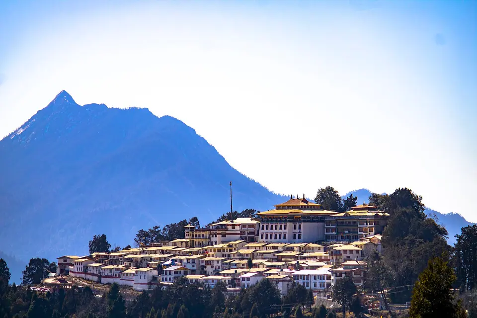

Dirang is a river valley town at about 1,500 m in West Kameng, around 205 km and 6 to 7 hours from Tezpur and about 135 km before Tawang. It is the best overnight stop before Sela Pass, with an old stone dzong, hot springs, orchards and Sangti valley. Indians need an eILP, foreigners a PAP.
Dirang is where we break every Tawang trip. The valley floor sits at around 1,500 m, roughly 900 m lower than Bomdila, so people sleep well, and the next morning's climb to Sela at 4,170 m is shorter. The Dirang Chu runs through the middle, with kiwi and apple orchards, pine slopes and Monpa villages on both banks.
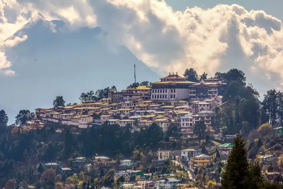
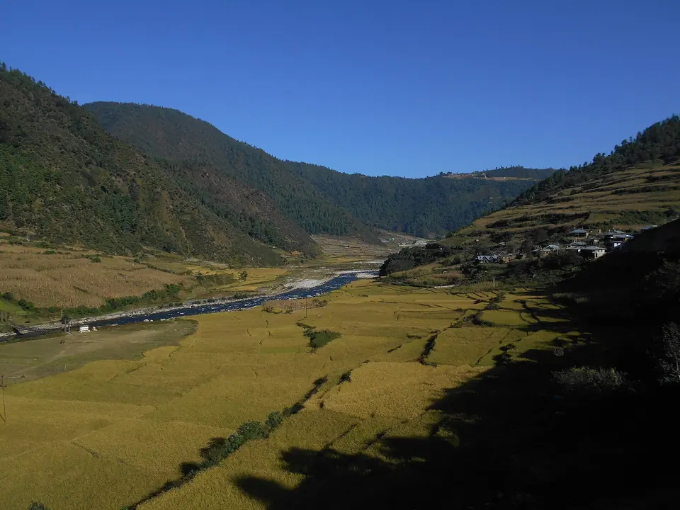
The old settlement of Dirang Dzong, a cluster of stone houses behind fortified walls, is a short walk from the highway, and the hot springs are a few kilometres up the road. Across the river, Sangti valley is a flat, wide plain where black-necked cranes have been seen in winter, and the ICAR National Research Centre on Yak works in the area. The National Institute of Mountaineering and Adventure Sports is also based here.
If you have time, two nights here are better than one. The valley suits slow walks, orchard stays and a drive up to Mandala Top, and it is noticeably warmer than Tawang in winter.
What makes it worth the trip
Dirang Dzong
An old fortified Monpa village of stone houses above the river, still lived in.
Hot springs
Natural hot water pools a short drive from town, popular with locals in the cold months.
Sangti valley
A broad, flat valley with orchards, a quiet river and winter visits from black-necked cranes.
Kiwi and apple orchards
Orchards and farmstays throughout the valley, with fruit on the trees from August to October.
Mandala Top
A ridge at around 3,000 m on the Thembang road, with rows of stupas and a wide mountain view.
Thembang village
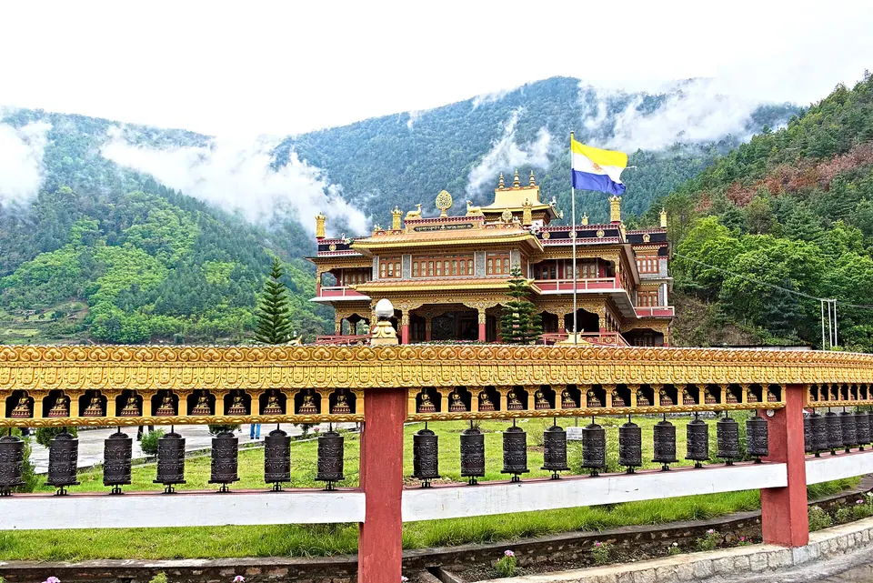
A fortified Monpa heritage village on a ridge, about an hour from Dirang.
 Itrajib · Commons · CC BY-SA 4.0
 Rohit Sharma · Commons · CC BY-SA 4.0
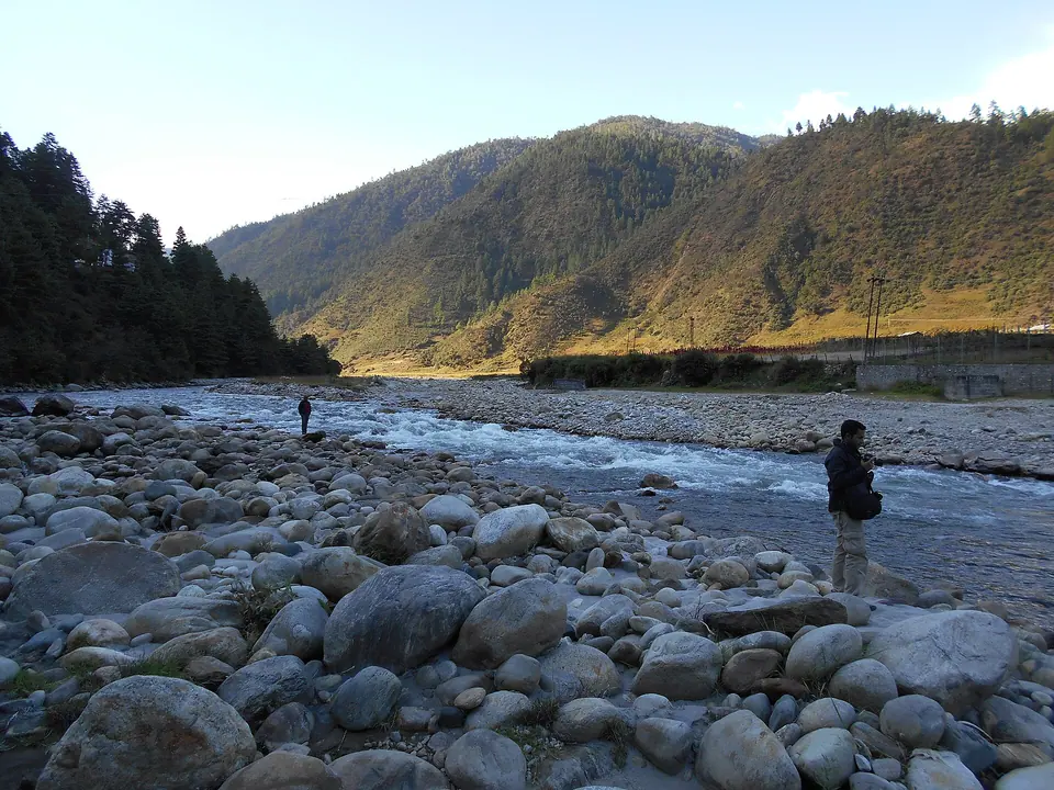 Itrajib · Commons · CC BY-SA 4.0
Things to do
- Walk through Dirang Dzong and the lanes of the old village
- Soak at the hot springs on a cold evening
- Spend half a day in Sangti valley walking by the river and orchards
- Drive to Mandala Top and Thembang for views and village life
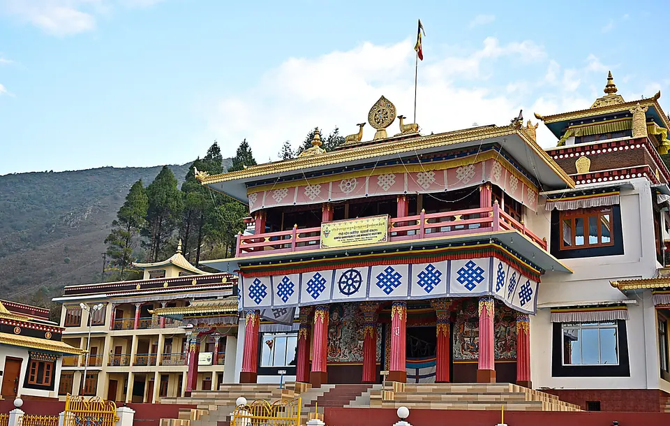
- Visit the Kalachakra gompa above the old village
- Taste local kiwi wine and apple products in season
- Stop at the yak research farm area on the Sela road if it is open to visitors
- Leave early for Sela Pass the next morning, before cloud builds
Getting there
Dirang is on NH-13, about 42 km beyond Bomdila, 205 km from Tezpur and roughly 360 km from Guwahati. From Tezpur, expect 6 to 7 hours via Bhalukpong (permit check), Tenga and Bomdila; from Guwahati it is a long day of 10 to 11 hours. Tezpur has the nearest airport. Shared Sumos run from Tezpur towards Tawang and can drop you here. Onward, Tawang is about 135 km and 5 to 6 hours over Sela Pass or through the Sela Tunnel. Check current status before you travel, especially in the monsoon.
Where to stay
Dirang has the best range of homestays on the Tawang road, many of them family-run farmhouses with orchards along the river and in Sangti valley. Dirang Boutique Cottages, a small riverside farmstay with traditional-style cottages near Dirang Dzong, is one well-known option. Mid-range hotels line the highway in town. For quiet nights, pick a place in Sangti or by the river rather than on the main road, where army convoys move early. Heating is simpler than in Tawang, but still ask for it from November to March.
Local tips
- Sleep here on the way up to Tawang; it makes the altitude gain much easier
- Leave by 7 am for Sela to cross before afternoon cloud
- Carry cash; Dirang's ATMs are few and can run dry
- Jio, Airtel and BSNL work in town; Sangti has weaker signal
- Ask your homestay about crane sightings in Sangti from November to February
- Respect privacy in Dirang Dzong; it is a living village, not a museum
Rain and weather
Source: modelled climate data
March to May for blossom and September to December for orchards, clear days and black-necked cranes in Sangti valley.